35
G500 Cockpit Reference Guide
190-01102-03 Rev B
WX GROUP
WX GROUP: DATA LINK PAGES
Weather Items
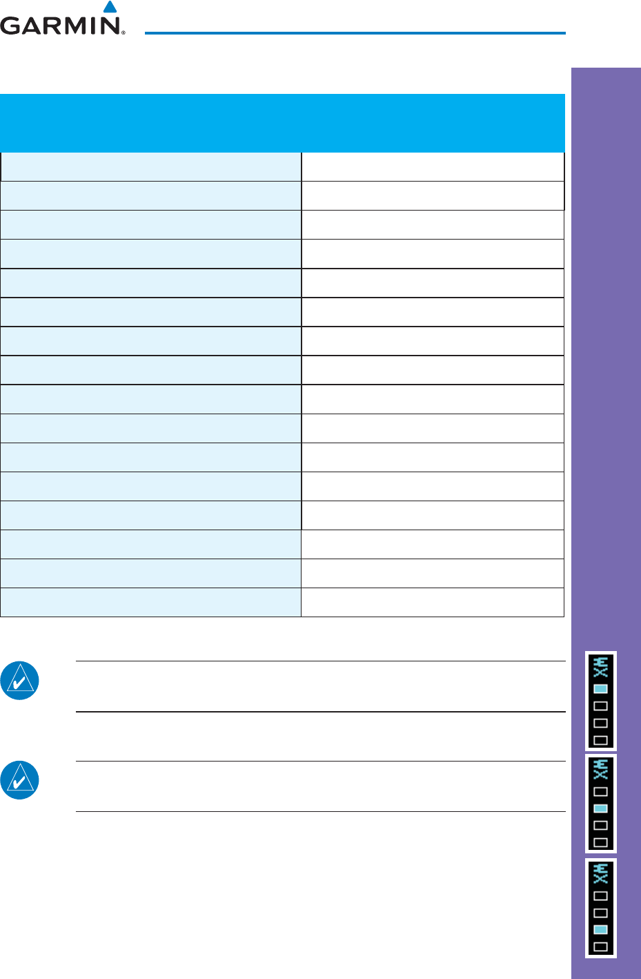
WX Page Menu - Weather Setup
Menu Item Selections Available
Map Orientation North Up, Track Up
NEXRAD Data Viewing Range Range: Off, 10
NM
to 2000
NM
NEXRAD Legend On, Off
Echo Top Data Viewing Range Range: Off, 10
NM
to 2000
NM
Cloud Top Data Viewing Range Range: Off, 10
NM
to 2000
NM
Lightning Data Viewing Range Range: Off, 10
NM
to 2000
NM
Cell Mov Data Viewing Range Range: Off, 10
NM
to 2000
NM
SIG/Air Viewing Range Range: Off, 10
NM
to 2000
NM
METAR Data Viewing Range Range: Off, 500
FT
to 2000
NM
Surface Data Viewing Range Range: Off, 10
NM
to 2000
NM
Surface Data Time Range: Current, 12 HR to 48 HR
Frz Lvl Data Viewing Range Range: Off, 10
NM
to 2000
NM
Winds Aloft Data Viewing Range Range: Off, 10
NM
to 2000
NM
Winds Aloft Altitude Range: Surface, 3000
FT
to 42000
FT
County Data Viewing Range Range: Off, 10
NM
to 2000
NM
Cyclone Data Viewing Range On, Off
NOTE: Due to similarities in color schemes, it is not possible to display
NEXRAD Data and Echo Top Data at the same time.
NOTE: Due to similarities in color schemes, it is not possible to display
Echo Top Data and Cloud Top Data at the same time.


